
Maryland Drone Mapping
Maryland drone mapping services delivering high-accuracy orthomosaics,
DSM/DTM terrain models, and QGIS-ready data for construction and land development.
Professional Mapping Deliverables
We produce accurate, geo-aligned Maryland drone mapping data ready for
planning, estimating, and engineering design workflows. Each project
is processed using a structured photogrammetry workflow to ensure
consistent and reliable spatial data outputs.
All deliverables are processed using WebODM and QGIS for maximum
compatibility with GIS and CAD environments. This allows engineers,
designers, and planners to integrate aerial mapping data directly
into grading plans, site layouts, drainage analysis, and development
documentation.
- Orthomosaic Maps
- High-resolution stitched imagery for clear site visualization.
- DSM / DTM Terrain Models
- Elevation layers for grading, slope, drainage, and design work.
- Contours (DWG / DXF)
- CAD-ready contour lines aligned to project coordinates.
- QGIS-Ready Files
- GeoTIFFs, annotations, vectors, buffers, and overlays.
- Annotated Site Maps
- Measured paths, zones, labels, and marked features.

How We Capture Accurate Maps
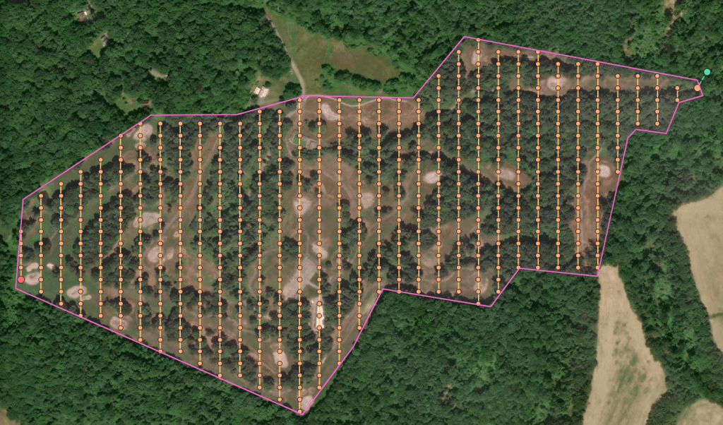
Our drone mapping workflow is engineered for precision.This process is based on photogrammetry, a geospatial mapping method
that reconstructs accurate 3D measurements from overlapping aerial
imagery. By capturing consistent flight paths and maintaining proper
overlap between images, the mapping software can generate orthomosaic
maps and elevation models that represent real-world terrain conditions.
From mission planning to data processing, every flight is structured to produce clean, distortion-free results that designers, builders, and property owners can trust.
Accurate drone mapping requires more than high-resolution imagery. Flight altitude, overlap consistency, and camera geometry directly affect the quality of orthomosaics and elevation models. AeroScan3D applies structured capture methods and clean processing workflows to ensure drone mapping outputs remain accurate, repeatable, and usable across planning, design, and documentation tasks.
- Structured Flight Grids
- RTK Positioning for Survey-Grade Accuracy
- Consistent altitude, proper sun angle, and standardized overlap for reliable stitching.
- High Overlap Capture
- 75–85% front and side overlap ensures crisp orthos and accurate elevation models.
- Multiple Passes When Needed
- Tree cover or complex terrain? We run multi-angle passes for more detail.
- Precise Ground Alignment
- All datasets are geo-referenced to maintain true scale and accurate measurements.
- Clean Data Processing
- WebODM + QGIS workflow ensures consistent, professional outputs every time.
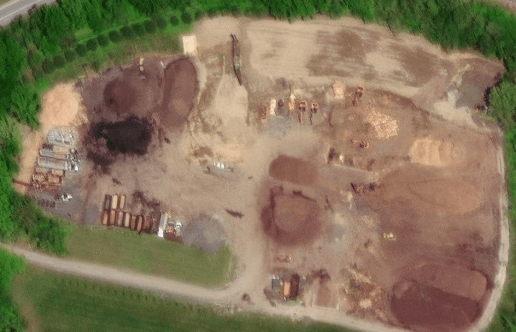 Satellite imagery of the site area. Useful for general reference but limited in resolution.
 High-resolution orthomosaic generated from RTK drone imagery for accurate site documentation.
 Digital Surface Model (DSM) derived from drone data showing terrain elevation and stockpile geometry.
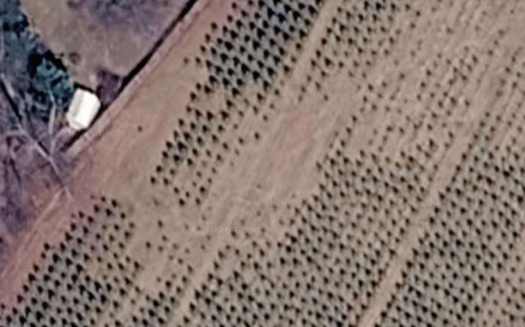 Satellite (Max Zoom) Limited detail • No usable features
 UAV (Max Zoom)
Clear enough for inventory detection
See how drone mapping data is used for real-world site analysis and inventory projects.
What You Receive
🗺️ Orthomosaic Map
High-resolution stitched aerial map of your project site.
Accurate, clean, and ready for measurement or design overlays.These orthomosaic maps are created through photogrammetry processing
and provide survey-grade visual context for construction planning,
site documentation, and design overlays.
📐 Digital Surface Model (DSM)
Elevation and terrain data for grading, drainage, and planning.
Ideal for landscape design and site documentation.
🧱 3D Textured Model
A full 3D reconstruction for visualization and design work.
📡 Drone mapping provides significantly higher resolution than satellite imagery.
Most commercial satellite images range from about 30–50 cm per pixel, while drone mapping can produce imagery in the 2–5 cm per pixel range.
This means drone surveys capture far more detail than typical satellite maps, allowing engineers, designers, and property owners to clearly see terrain features, grading changes, and site conditions that are impossible to identify from standard satellite imagery.
🌐 Web Viewer Link
Shareable online model with measurement tools.
Your team and clients can explore the site from any device.
📦 Optional Extras (When Needed)
Point cloud
Original images
Contours
Progress comparisons
360° capture